Project: Study of subsidence control associated with the exploitation of the strategic battery of boreholes in the vega media aquifer using high precision gps techniques
Location: Murcia, Spain
Customer: Public Organization
Ground subsidence is a natural risk that affects large areas of the territory causing serious economic damage and social alarm.
Ground subsidence manifests itself on the ground surface through vertical defects that can vary from a few millimeters to several meters over periods ranging from minutes to years.
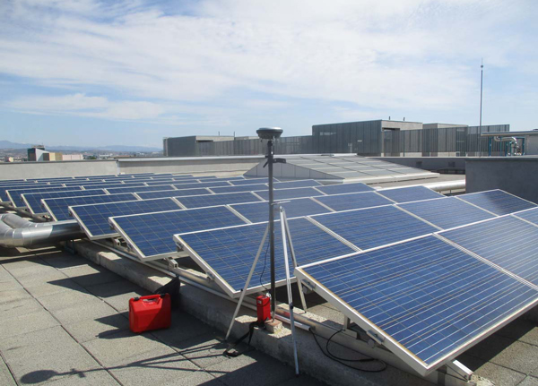
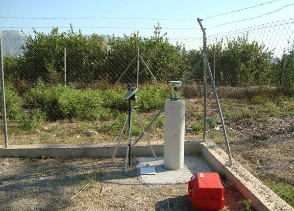
Subsidence caused by the extraction of water from the subsoil is a real risk, therefore, the possible variation of the ground elevation and/or infrastructures must be closely monitored.
During the operation of the so-called ‘drought wells’, La Compañía monitored the subsidence of the ground according to the requests of the competent body.